
Palestine grid 161/153 Name meaning "The house of Ello" | ||
 | ||
Weather 10°C, Wind S at 10 km/h, 96% Humidity | ||
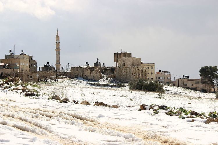
Beitillu (Arabic: بيتللو) is a Palestinian town located in the Ramallah and al-Bireh Governorate in the northern West Bank, 19 kilometers Northwest of Ramallah. According to the Palestinian Central Bureau of Statistics, it had a population of approximately 3,083 in mid-year 2006
Contents
Map of Baytillu
Presently much of the villagers' traditional land, springs, gardens with olive and fig trees, near the Israeli settlement of Nachliel cannot be accessed, because their way is barred by Israeli soldiers or settlers, often with dogs.
History
Sherds from Iron Age II/ Persian, Hellenistic, Roman, Byzantine, Umayyad, Crusader, Ayyubid and Mamluk era have been found here.
Ottoman era
Beitillu appeared in the 1596 Ottoman tax registers as Bayt Illu, in the Nahiya of Quds of the Liwa of Quds. It had a population of 30 households, all Muslim, and paid taxes on wheat, barley, olive trees, vineyards and fruit trees, goats and beehives.
French explorer Victor Guérin visited Beit-Illou in 1870, and he estimated that the village had about 800 inhabitants. He also noted that it had "magnificent trees" to the north. Guérin´s population estimate fits well with an official Ottoman village list from about 1870, which showed that Beit Oula had 100 houses and a population of 430, as it only counted the men. In 1882, the Palestine Exploration Fund's Survey of Western Palestine described Beit Ello as a "village of moderate size on high ground, among olives, with a well to the south-east, and a spring and a tank on the north-east".
British Mandate era
In the 1922 census of Palestine, conducted by the British Mandate authorities, Baitilla had a population of 252, all Muslims, increasing in the 1931 census to a population of 440, still all Muslim, in 98 houses.
In 1945 the population of Beitillu was 490, all Muslims, with 13,409 dunams of land, according to an official land and population survey. 5,825 dunams were used for plantations and irrigable land, 1,681 dunams for cereals, while 58 dunams were built-up (urban) land.
1948-1967
After the 1948 Arab-Israeli War, Beitillu was ruled by the Hashemites of Jordan.
post-1967
Beitillu came under Israeli occupation along with the rest of the West Bank after the 1967 Six-Day War.
Much of the villagers' traditional land, springs, gardens with olive and fig trees, near the Israeli settlement of Nachliel cannot be accessed, according to Amira Hass, because their way is barred by soldiers or settlers, often with dogs:-
This has been going on for years. Gradually, ever-expanding rings of grazing land and rows of groves have become inaccessible to residents of the Beitillu and Deir Ammar villages.'
One villager complained:
“I have 200 olive trees, 500 fig trees and 300 vines there. I can’t even pick a single fig,” stated a Palestinian farmer who looks older than his age; he spoke without cynicism, and with much pain. “They aren’t killing me, but they are killing my heart.”
In February 2011, three Beitillu houses were vandalised by anonymous graffiti artists who painted slogans like 'Muhammad is a pig' on their walls, probably as a price tag policy retaliation for the forced evacuation of a settler outpost near Kiryat Arba.