
Time zone IST (UTC+5:30) Population 9,410 (2011) | Vehicle registration JH Local time Monday 7:12 AM | |
 | ||
Weather 16°C, Wind NE at 2 km/h, 69% Humidity | ||
Nagri Kalan is a census town in Baghmara CD Block in Dhanbad district in the Indian state of Jharkhand.
Contents
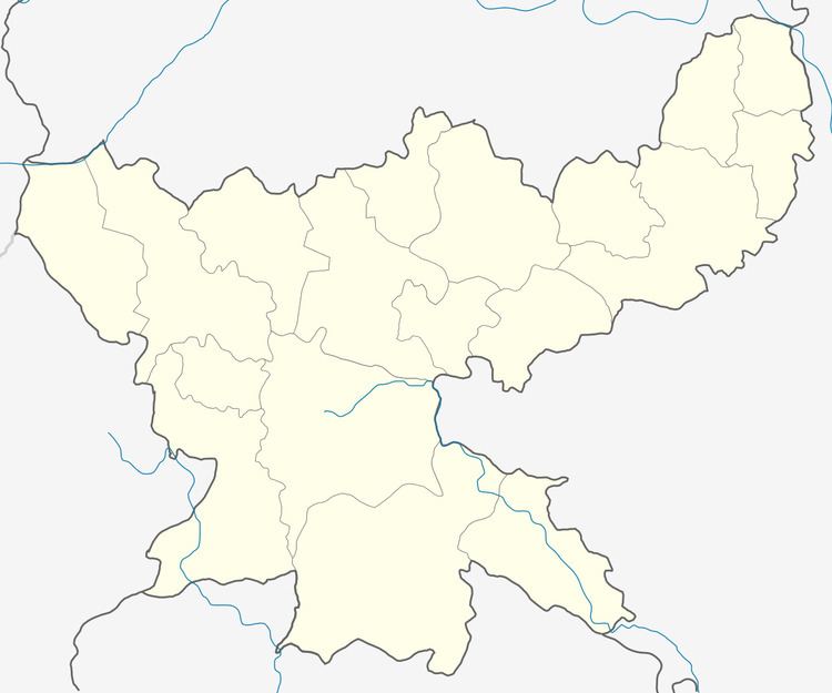
Map of Nagri Kalan, Jharkhand
Geography
Nagri Kalan is located at 23°49′3″N 86°20′44″E.
Demographics
As per 2011 Census of India Nagri Kalan had a population of 9,410, of which 4,942 males and 4,468 females. Scheduled Castes numbered 1,712 and Scheduled Tribes numbered 229.
As of 2001 India census, Nagri Kalan had a population of 7,693. Males constitute 54% of the population and females 46%. Nagri Kalan has an average literacy rate of 59%, lower than the national average of 59.5%: male literacy is 70%, and female literacy is 46%. In Nagri Kalan, 16% of the population is under 6 years of age.
Literacy
As per 2011 census the total number of literates in Nagri Kalan was 6,324 out of which 3,742 were males and 2,582 were females.