
Elevation 1,180 m | Time zone EAT (UTC+3) Local time Monday 2:42 AM | |
 | ||
Weather 21°C, Wind S at 8 km/h, 93% Humidity | ||
Nagalama, whose correct phonetic spelling is Naggalama is a town in Uganda's Central Region.
Contents
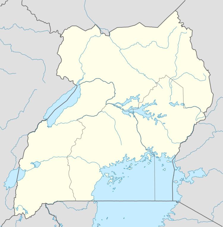
Map of Nagalama, Uganda
Location
Nagalama is located in Mukono District, on the Kalagi-Kayunga Road, approximately 6 kilometres (3.7 mi), by road, southwest of the larger, neighboring town of Nakifuma, where the county headquarters are located. This location is approximately 22 kilometres (14 mi), by road, north of Mukono, where the district headquarters are located. Nagalama is situated approximately 38 kilometres (24 mi), by road, northeast of Kampala, Uganda's capital and largest city.
Population
As of May 2011, the exact population of Nagalama is not publicly known.
Landmarks
The landmarks within or near Nagalama include:
References
Nagalama Wikipedia(Text) CC BY-SA