
Country Uganda Elevation 1,160 m | Time zone EAT (UTC+3) Local time Monday 9:44 AM | |
 | ||
Weather 24°C, Wind S at 11 km/h, 85% Humidity | ||
Location
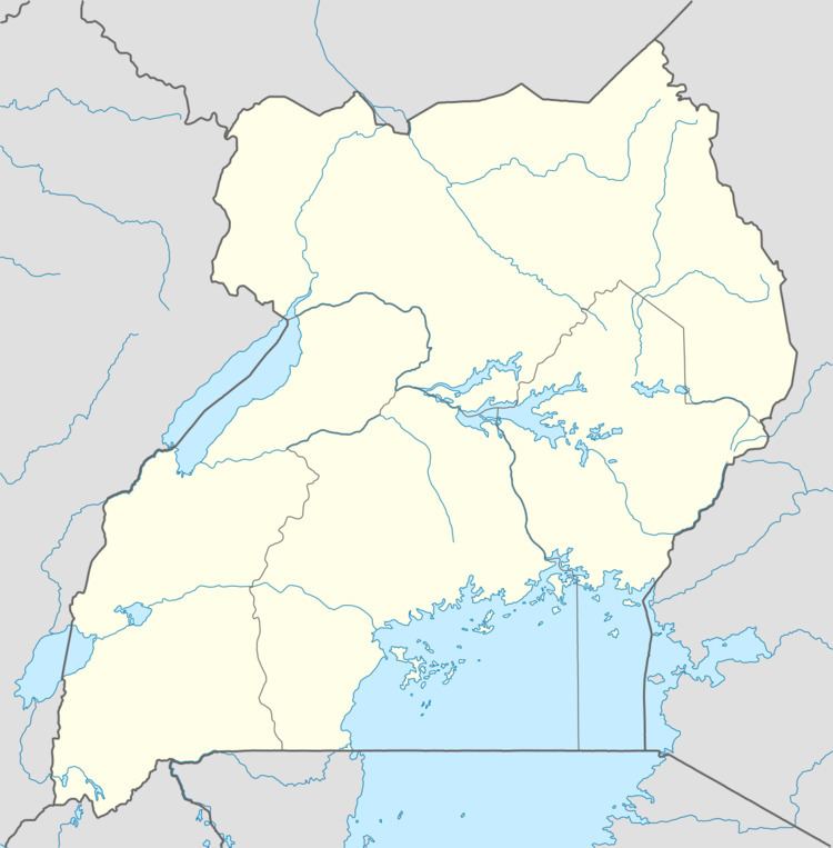
Nakifuma lies in Nakifuma sub-county, Kyaggwe County, in Mukono District. The town is located on the main highway from Kampala, through Gayaza, Kalagi and on to Kayunga. This location lies approximately 26 kilometres (16 mi), by road, northeast of Mukono, where the district headquarters are located. and approximately 46 kilometres (29 mi), by road, northeast of Kampala, Uganda's capital and largest city. The road leading in and out of Nakifuma is an all-weather tarmac highway. The coordinates of Nakifuma are:0°32'27.0"N, 32°47'24.0"E (Latitude:0.5408; Longitude:32.7900).
Overview
Nakifuma is the location of the headquarters of Nakifuma sub-county, one of the two sub-counties in Mukono District. The other sub-county in the district is Mukono sub-county, where the town of Mukono is located. Nakifuma Central market is the largest fresh-food market in the town.
Population
The exact population of Nakifuma s not known as of May 2011.
Points of interest
The following points of interest lie within town or close to its borders: