
Car plates KBC | Area 649.3 km² | |
 | ||
Gminas Total 9 (incl. 1 urban)BochniaGmina BochniaGmina DrwiniaGmina ŁapanówGmina Lipnica MurowanaGmina Nowy WiśniczGmina RzezawaGmina TrzcianaGmina Żegocina Points of interest Tatra Mountains, Zamek Kmitów i Lubomirskich, Nowy Wiśnicz Castle, Park archeologiczny "Osada VI, St Leonard's Church - L Destinations Tatra Mountains, Bochnia, Nowy Wiśnicz, Lipnica Murowana, Rajbrot | ||
Bochnia County (Polish: powiat bocheński) is a unit of territorial administration and local government (powiat) in Lesser Poland Voivodeship, southern Poland. It came into being on January 1, 1999, as a result of the Polish local government reforms passed in 1998. Its administrative seat and largest town is Bochnia, which lies 37 kilometres (23 mi) east of the regional capital Kraków. The only other town in the county is Nowy Wiśnicz, lying 8 km (5 mi) south of Bochnia.
Contents
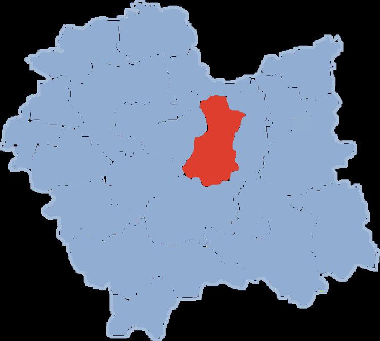
Map of Bochnia County, Poland
The county covers an area of 649.28 square kilometres (250.7 sq mi). As of 2006 its total population is 100,382, out of which the population of Bochnia is 29,373, that of Nowy Wiśnicz is 2,716, and the rural population is 68,293.
Neighbouring counties
Bochnia County is bordered by Proszowice County to the north, Brzesko County to the east, Limanowa County to the south, and Myślenice County, Wieliczka County and Kraków County to the west.
Administrative division
The county is subdivided into nine gminas (one urban, one urban-rural and seven rural). These are listed in the following table, in descending order of population.