
Province Katanga Province | Territory Kambove Territory | |
 | ||
Country | ||
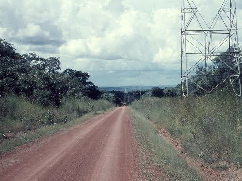
Mwadingusha is a community in the Kambove Territory of Haut Katanga District in the Democratic Republic of the Congo.
Contents
Map of Mwadingusha, Democratic Republic of the Congo
Hydroelectricity
The Cornet Falls on the Lufira River had a drop of 113 metres (371 ft) at Mwadingusha. The river was dammed at the falls in 1925 with an 8 metres (26 ft) dyke to form Lake Tshangalele, a reservoir for a hydroelectric generator supplying power for copper smelting in Likasi. The newly formed Société Générale des Forces Hydro-électriques du Katanga (SOGEFOR) undertook construction over a four-year period, with most of the work done by large crews of laborers. The Emil Francqui power station was built to harness the power. It had six turbo-generators, five active at any time, and a generating capacity of 60,000 kilowatts.
Lake
The dyke was raised in 1934, 1938 and again in 1947 to a final height of 13 metres (43 ft). The resultant shallow lake has an area of over 410 square kilometres (160 sq mi) and supports up to 2,000 fishermen.