
Trail difficulty Easy to medium | Length 95,000 m | |
 | ||
Hazards Uncontrolled crossings of major highways Surface Sealed, some sections of compact gravel Hills Small undulating hills; Beechworth branch involves extended climb Water Available in most towns Similar Mount Buffalo National, Great Southern Rail Trail, Ballarat–Skipton Rail Trail, Lilydale to Warburton Rail Trail, Alpine National Park | ||
Murray to the mountains rail trail cycling the ovens kiewa river valleys
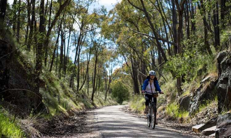
The Murray to the Mountains Rail Trail is a cycling and walking rail trail in northern Victoria, Australia. It extends from Wangaratta to Bright, with a side branch to Beechworth, following the route of the former Bright railway line. Unusually for a rail trail, it is sealed for virtually the entire distance of approximately 95 kilometres.
Contents
- Murray to the mountains rail trail cycling the ovens kiewa river valleys
- Map of Murray to the Mountains Rail Trail Wahgunyah VIC 3687 Australia
- Stages
- References
Map of Murray to the Mountains Rail Trail, Wahgunyah VIC 3687, Australia
Another section, from Rutherglen to Wahgunyah on the Murray was completed in 2009. There is an on-road "preferred route" connecting Rutherglen to Bowser via Chiltern. A third section extends south from Wangaratta to Oxley, connecting with a bike path from there to Milawa.
Stages
Landmarks are as follows:
References
Murray to the Mountains Rail Trail Wikipedia(Text) CC BY-SA