
Country Bangladesh Area 340.7 km² | Time zone BST (UTC+6) Population 523,000 (2011) | |
 | ||
Website Official Map of Muradnagar Neighborhoods Kodomtoli, Hindu Para, Pushkarinir Par | ||
Muradnagar (Bengali: মুরাদনগর) is an Upazila of Comilla District in the Division of Chittagong, Bangladesh.
Contents
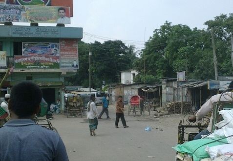
Map of Muradnagar, Bangladesh
In the culinary field, the area is known for rosmali sweets and for sweet yogurt.
Geography
Muradnagar is located at 23.6385°N 90.9325°E / 23.6385; 90.9325. It has 101,809 households covering a total area of 340.73 km².
Demographics
As recorded in the March 15th, 2011 census, Muradnagar Upazila has a population of 523,000 people. Males constitute 47% of the population, females 53%. There are 175,391 people age 20 and over. For Comilla Zila, of which Muradnagar Upazila is a part, the average literacy rate for people age 7 and over is 60.9%; the national average is 57.1% for people age 11 and over.
Administration
Muradnagar Upazila is divided into 22 union parishads: Akubpur, Andikot, Babuti Para, Chapitala, Chhaliakandi, Dakshin Ramchandrapur, Darora, Dhamghar, Jahapur, Jatrapur, Kamalla, Muradnagar, Paharpur, Paschim Bangara, Paschim Nabipur, Paschim Purbadhair, Purba Bangara, Purba Nabipur, Purba Purbadhair, Sreekail, Tanki, and Uttar Ramchandrapur. The union parishads are subdivided into 153 mauzas and 301 villages.