
Time zone IST (UTC+5:30) Vehicle registration KL- Local time Wednesday 1:33 AM | PIN 680312 | |
 | ||
Weather 27°C, Wind N at 0 km/h, 87% Humidity | ||
Mupliyam is a small village in Thrissur district of Kerala state, south India. It is located 9 km away from National Highway 47 from Pudukad which is 13 km from Thrissur town. Mupliyam comes under Chalakudy Taluk and Varandarappilly Panchayath. The river which passes through Mupliyam becomes Kurumali puzha. Muniyattukunnu of Mupliyam is famous for its dolmens, which were declared as protected monument as per Government proceeding. Only one dolmen stands intact at Muniyattukunnu. The rest have been destroyed by quarrying in the area. India.
Contents
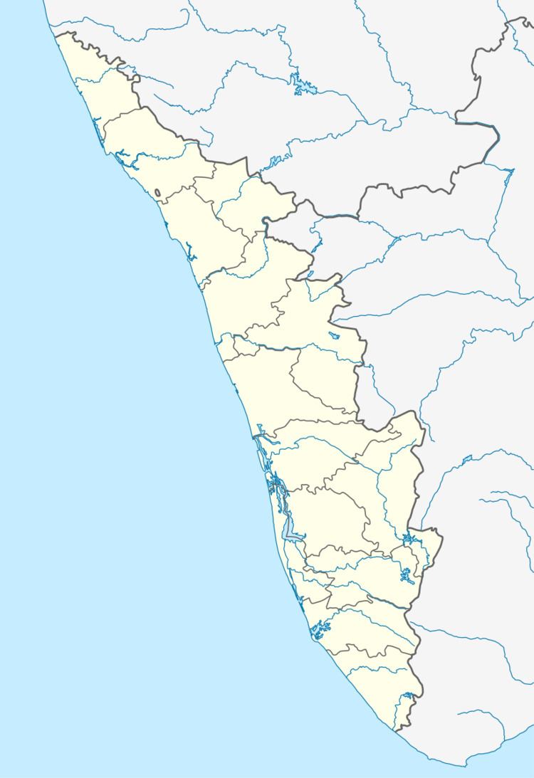
Map of Mupliyam, Kerala
Schools
Churches
Temples
Bank
Government Offices
Primary Health Centers
References
Mupliyam Wikipedia(Text) CC BY-SA