
Postcode(s) 4467 Local time Wednesday 2:19 AM | Postal code 4467 | |
 | ||
Weather 21°C, Wind NE at 11 km/h, 90% Humidity | ||
Mungallala is a town in the South West region of the Australian state of Queensland. The town is in the Maranoa Region local government area and on the Warrego Highway, 608 kilometres (378 mi) west of the state capital Brisbane and 133 kilometres (83 mi) west of the regional centre of Roma. The name Mungallala is said to mean 'food water' because of the location of a cypress mill, approximately halfway between Mitchell and Morven on the Warrego Highway. The town consists of only a few streets, a public library, school and the Mungallala Club Hotel. In 2016 the Australian Taxation Office listed Mungallala as having the lowest mean taxable income by postcode, making it the 'poorest' town in Australia.
Contents
Map of Mungallala QLD 4467, Australia
History
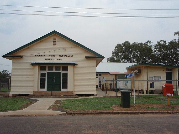
Mungallala Post Office opened by May 1911 (a receiving office had been open from 1887).