
Population 276 (2006 census) LGA(s) Murweh Shire Council Postal code 4468 | Postcode(s) 4468 State electorate(s) Gregory Local time Sunday 6:13 PM | |
 | ||
Weather 29°C, Wind N at 13 km/h, 44% Humidity | ||
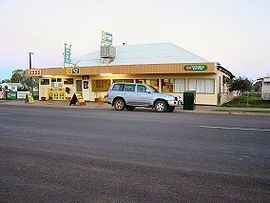
Morven is a town in South West Queensland in Shire of Murweh, Queensland, Australia. The town is located on the Warrego Highway, 91 kilometres (57 mi) east of Charleville and 665 kilometres (413 mi) west of Brisbane. At the 2006 census, Morven had a population of 276.
Contents
Map of Morven QLD 4468, Australia
History
In 1859, a small area was taken from the property Victoria Downs and set aside for public use and designated on maps and documents as 'Victoria Downs Reserve'. It was on the mail route from Brisbane to Charleville. Later it became informally known as 'Sadlier's Waterhole' after Captain TJ Sadlier and his wife camped at the property. In 1876, a post office was opened and called Morven. When officially surveyed in 1880, it was officially given the name Morven.
Facilities
Morven has a public library, historical museum and heritage trail. Nearby is the Tregole National Park.
Heritage listings
Moreven has a number of heritage-listed sites, including: