
Topo map USGS Roosevelt Mine | Elevation 378 m | |
 | ||
Similar Chuckwalla Mountains, Big Maria Mountains, Orocopia Mountains, Turtle Mountains, Dome Rock Mountains | ||
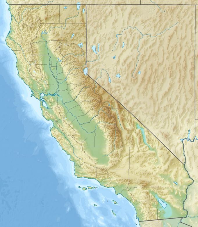
The Mule Mountains of California are located in the southeastern part of the state in the United States. The range lies in a northeast-southwesterly direction south of the McCoy Mountains and west of the Palo Verde Valley and Colorado River. The mountain range is approximately 18 miles (29 km) long and is located just south of Interstate 10, about 5 mi (8 km) southeast of Chuckawalla Valley State Prison. The northern end of the range is in Riverside County, and the southern end is in Imperial County. Downtown Blythe, California is about 12 mi (19 km) to the northeast.
Map of Mule Mountains, California, USA
References
Mule Mountains (California) Wikipedia(Text) CC BY-SA