
 | ||
Muldava Glacier (Bulgarian: ледник Мулдава, ‘Lednik Muldava’ \'led-nik mul-'da-va) is the 4.4 km long and 3.2 km wide glacier on Magnier Peninsula, Graham Coast on the west side of Antarctic Peninsula, situated west of Luke Glacier and northeast of Nesla Glacier. It drains the northwest slopes of Lisiya Ridge north of Mount Perchot, and flows northwards into Leroux Bay.
Contents
Map of Muldava Glacier, Antarctica
The glacier is named after the settlement of Muldava in Southern Bulgaria.
Location
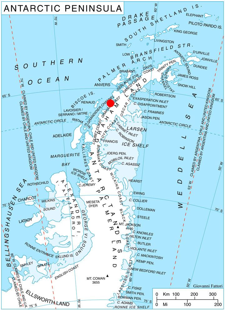
Muldava Glacier is centred at 65°42′10″S 64°12′10″W. British mapping in 1971.
Maps
References
Muldava Glacier Wikipedia(Text) CC BY-SA