
 | ||
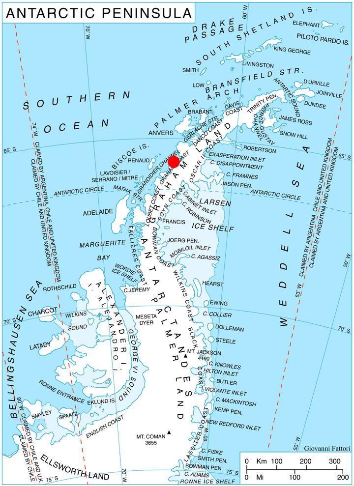
Lisiya Ridge (Bulgarian: Лисийски хребет, ‘Lisiyski Hrebet’ li-'siy-ski 'hre-bet) is the ice-covered ridge at the base of Magnier Peninsula, Graham Coast on the west side of Antarctic Peninsula, extending 16 km in northeast-southwest direction between the heads of Leroux Bay and Bigo Bay, and 11 km wide. Bounded by Comrie Glacier to the south and a tributary to Luke Glacier to the east. Featuring Mount Bigo (1700 m) at its southwest extremity and Mount Perchot (2040 m) in its central part. Precipitous, partly ice-free northwest slopes drained by the glaciers Muldava, Nesla and Kolosh.
Contents
The ridge is named after the settlement of Lisiya in Southwestern Bulgaria.
Location
Lisiya Ridge is centred at 65°45′10″S 64°11′00″W. British mapping in 1971.
Maps
References
Lisiya Ridge Wikipedia(Text) CC BY-SA