
Topo map USGS Caratunk Prominence 553 m | Elevation 895 m Listing New England Fifty Finest | |
 | ||
Similar Big Spencer Mountain, Big Moose Mountain, Mount Abraham, Spaulding Mountain, Doubletop Mountain | ||
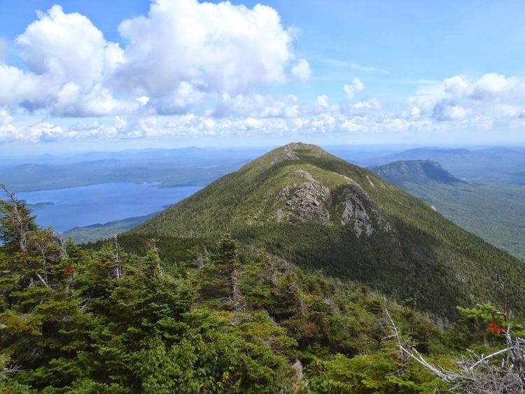
Moxie Mountain is a mountain located in Somerset County, Maine.
Map of Moxie Mountain, Caratunk, ME 04925, USA
Moxie Mountain stands within the watershed of the Kennebec River, which drains into the Gulf of Maine. The northeast side of Moxie Mtn. drains into Big and Little Dimmick Ponds, then into Baker Pond, Moxie Pond, Moxie Stream, and into the Kennebec River. The north side of Moxie drains into Pleasant Pond, then into Pleasant Pond Stream, and into the Kennebec River. The west side of Moxie drains into Robinson Pond Outlet, then into Pleasant Pond Stream. The south side of Moxie drains into Heald Stream, then into Austin Stream and the Kennebec River.
The Appalachian Trail, a 2,170-mile (3,500-km) National Scenic Trail from Georgia to Maine, runs a few miles north of Moxie, across the summit of Pleasant Pond Mountain.