
Prominence 180 m | Elevation 1,222 m Listing Four-thousand footers | |
 | ||
Topo map USGS Sugarloaf Mountain Mountain range Appalachian Mountains, Rangeley-Stratton Similar Mount Redington, Mount Abraham, Crocker Mountain, South Crocker Mountain, Saddleback Horn | ||
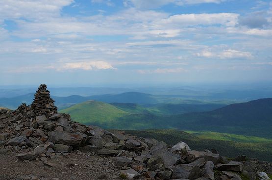
Spaulding Mountain is a mountain located in Franklin County, Maine. Spaulding Mountain is flanked to the northeast by Sugarloaf Mountain, and to the southeast by Mount Abraham.
Map of Spaulding Mountain, East Central Franklin, ME 04983, USA
The northeast and south sides of Spaulding Mountain drain into Rapid Stream, then into the West Branch of the Carrabassett River, the Kennebec River, and into the Gulf of Maine. The west side of Spaulding drains into the South Branch of the Carrabassett River.
The Appalachian Trail, a 2,170 mi (3,490 km) National Scenic Trail from Georgia to Maine, crosses Spaulding, passing 150 ft (46 m) below the summit.
References
Spaulding Mountain Wikipedia(Text) CC BY-SA