
Parent range Musgrave Ranges Elevation 1,435 m Mountain range Musgrave Ranges | Easiest route Hike Prominence 945 m | |
 | ||
Location South Australia, Australia Similar Mount Zeil, Mount Meharry, Bimberi Peak, Mount Ossa, Mount Bartle Frere | ||
Mount Woodroffe is South Australia's highest peak, at 1,435 metres.
Contents
- Map of Mount Woodroffe South Australia Australia
- Cultural Significance
- Geography
- History
- Access
- Further Links
- References
Map of Mount Woodroffe, South Australia, Australia
Cultural Significance
The mountain is known to the Pitjantjatjara Indigenous Australians as Ngarutjaranya. In Indigenous Australian mythology, the mountain embodies the mythological creature Ngintaka.
Geography
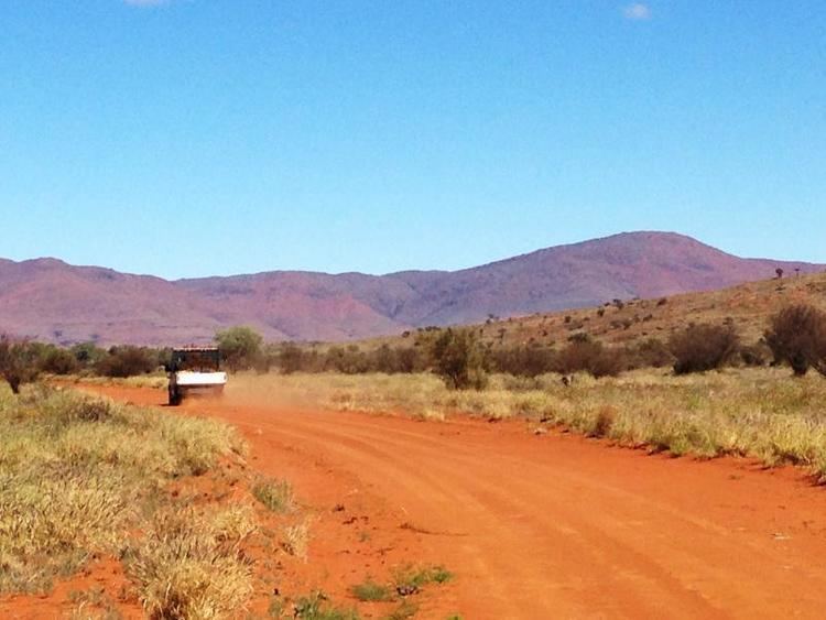
Mount Woodroffe is located in the far northwest of South Australia, in the Musgrave Ranges. The mountain range rises some 700–800 metres from the surrounding plains and comprises massifs of granite and gneiss.
History
William Ernest Giles was the first white man to pass through the area and camped to the south Woodroffe on September 7, 1873. William Christie Gosse named Mt Woodroffe from Ayers Rock/Uluru on July 20, 1873 and passed to the north of the mountain on October 27, 1873. Woodroffe was named after George Woodroffe Goyder, Surveyor-General of South Australia and an early Australian explorer.
In the 1960s Mount Woodroffe was considered as a potential site for the proposed Anglo-Australian Telescope (AAT). It lost out due to its remoteness compared to Siding Spring in New South Wales, where the AAT sits today amongst other astronomical observatories.
Access
Access is limited as a permit is required to enter the Anangu Pitjantjatjara lands.