
Easiest route snow/ice climb First ascent 1975 | Elevation 3,298 m Prominence 1,208 m | |
 | ||
Similar Mount Crillon, Mount Quincy Adams, Mount Fairweather, Mount Saint Elias, Mount Wrangell | ||
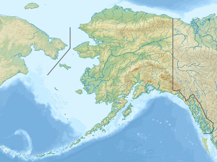
Mount Wilbur is a high peak of the Fairweather Range, the southernmost part of the Saint Elias Mountains. It lies approximately 14 miles (22 km) southeast of Mount Fairweather and 8 miles (13 km) northwest of Mount Crillon. It is included in Glacier Bay National Park. The peak is the higher of a pair of peaks, Mounts Wilbur and Orville, named after the Wright Brothers.
Map of Mt Wilbur, Alaska 99826, USA
Though not a particularly high peak in absolute terms, Mount Wilbur does stand quite high above local terrain, due to its proximity to the ocean: the summit is only 7.5 miles from tidewater at the head of Lituya Bay to the southwest.
References
Mount Wilbur (Alaska) Wikipedia(Text) CC BY-SA