
- elevation 2,231 ft (680 m) | Area 18.69 km² | |
 | ||
Management Department of Conservation and Recreation | ||
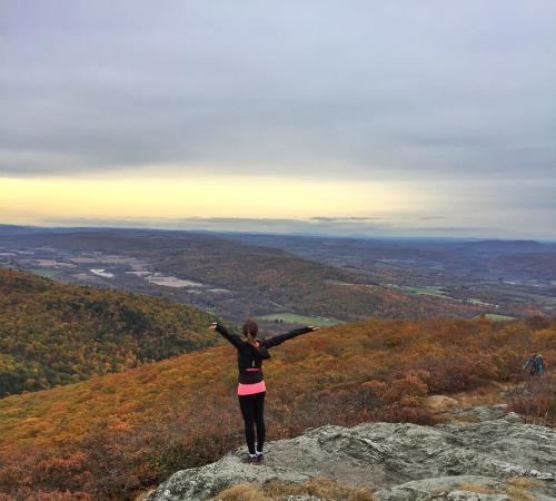
Mount alander mount washington state forest ma
Mount Washington State Forest is a publicly owned forest with recreational and scenic features covering 4,619 acres (1,869 ha) in the town of Mount Washington, Massachusetts. The forest conjoins with New York state and the state of Connecticut in the southern Taconic Mountains of the southwestern Berkshire region of Massachusetts. Bash Bish Falls State Park lies adjacent to the state forest. The forest is managed by the Massachusetts Department of Conservation and Recreation.
Contents
- Mount alander mount washington state forest ma
- Map of Mt Washington State Forest Mt Washington MA 01230 USA
- Alander mountain cabin mount washington state forest ma
- HistoryEdit
- FeaturesEdit
- Activities and amenitiesEdit
- References
Map of Mt Washington State Forest, Mt Washington, MA 01230, USA
Alander mountain cabin mount washington state forest ma
HistoryEdit
The forest was acquired by the state through gifts of Alfred F. Intemann (1897-1986) and his wife Cornelia Van der Smissen Intemann (who died in 1963) conveyed in 1958, 1959, 1961, and 1968.
FeaturesEdit
The forest protects 300 acres (120 ha) of old growth northern hardwood forest in separate areas. The tri-state boundary stone on the Mount Frissell Trail marks Massachusett's southwest and Connecticut's northwest corners. The names of Massachusetts and New York are engraved in the stone, with Connecticut "graffiti" on the granite.
Activities and amenitiesEdit
The forest has 30 miles of trails including portions of the Appalachian Trail and the South Taconic Trail, which ascends Alander Mountain. Trails are used for hiking, horseback riding, mountain biking, and cross-country skiing. The forest also offers restrooms, picnicking, fishing, restricted hunting, and primitive wilderness camping.