
Country United States ZIP codes 62864, 62872 Elevation 161 m Local time Monday 4:27 AM | Time zone CST (UTC-6) GNIS feature ID 0429410 Area 96.37 km² Population 13,374 (2010) | |
 | ||
Weather 8°C, Wind S at 6 km/h, 66% Humidity | ||
Mount Vernon Township is one of sixteen townships in Jefferson County, Illinois, USA. As of the 2010 census, its population was 13,374 and it contained 6,422 housing units.
Contents
- Map of Mt Vernon Township IL 62864 USA
- Geography
- Cities towns villages
- Unincorporated towns
- Adjacent townships
- Cemeteries
- Major highways
- Airports and landing strips
- Political districts
- References
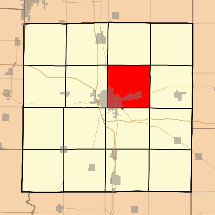
Map of Mt Vernon Township, IL 62864, USA
Geography
According to the 2010 census, the township has a total area of 37.21 square miles (96.4 km2), of which 36.95 square miles (95.7 km2) (or 99.30%) is land and 0.26 square miles (0.67 km2) (or 0.70%) is water. The township is centered at 38°21′N 88°52′W (38.349,-88.859). It is traversed north-south by State Route 37, east-west by State Route 15, and diagonally across its southwest corner by State Route 142.
Cities, towns, villages
Unincorporated towns
(This list is based on USGS data and may include former settlements.)
Adjacent townships
Cemeteries
The township contains these nine cemeteries: Atkinson, East Salem, Etheridge Farm, Hopewell, Oakwood, Old Union, Saint Mary's, Sursa and Williams.