
Country United States ZIP codes 62814, 62864, 62872 Elevation 149 m Local time Sunday 11:15 AM | Time zone CST (UTC-6) GNIS feature ID 0429907 Area 96.3 km² Population 2,323 (2010) | |
 | ||
Weather 22°C, Wind S at 29 km/h, 52% Humidity | ||
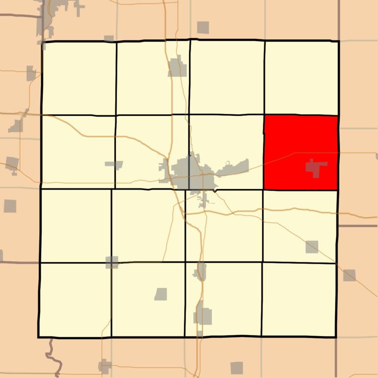
Webber Township is one of sixteen townships in Jefferson County, Illinois, USA. As of the 2010 census, its population was 2,323 and it contained 943 housing units.
Contents
- Map of Webber Township IL USA
- Geography
- Cities towns villages
- Unincorporated towns
- Adjacent townships
- Cemeteries
- Major highways
- Political districts
- References
Map of Webber Township, IL, USA
Geography
According to the 2010 census, the township has a total area of 37.2 square miles (96 km2), of which 36.99 square miles (95.8 km2) (or 99.44%) is land and 0.21 square miles (0.54 km2) (or 0.56%) is water. The township is centered at 38°20′N 88°45′W (38.342,-88.757). It is transversed from east-west by State Route 15.
Cities, towns, villages
Unincorporated towns
(This list is based on USGS data and may include former settlements.)
Adjacent townships
Cemeteries
The township contains these seven cemeteries: Black Oak Ridge, Clark, East Hickory Hill, Hicory Hill, Mount Olive, Newton Farm and Oak Dale.
Major highways
Political districts
References
Webber Township, Jefferson County, Illinois Wikipedia(Text) CC BY-SA