
Country United States ZIP codes 62864, 62894, 62898 Elevation 138 m Local time Saturday 8:39 AM | Time zone CST (UTC-6) GNIS feature ID 0429745 Area 94.07 km² Population 6,620 (2010) | |
 | ||
Weather 6°C, Wind N at 10 km/h, 84% Humidity | ||
Shiloh Township is one of sixteen townships in Jefferson County, Illinois, USA. As of the 2010 census, its population was 6,620 and it contained 3,204 housing units.
Contents
- Map of Shiloh Township IL USA
- Geography
- Cities towns villages
- Unincorporated towns
- Adjacent townships
- Cemeteries
- Major highways
- Airports and landing strips
- Lakes
- Political districts
- References
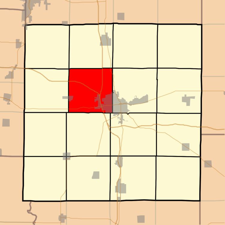
Map of Shiloh Township, IL, USA
Geography
According to the 2010 census, the township has a total area of 36.32 square miles (94.1 km2), of which 36.24 square miles (93.9 km2) (or 99.78%) is land and 0.07 square miles (0.18 km2) (or 0.19%) is water. The township is centered at 38°21′N 88°59′W (38.344,-88.982). It is transversed north-south by Interstate Route 57 and east-west by Interstate Route 64 and State Route 15.
Cities, towns, villages
Unincorporated towns
(This list is based on USGS data and may include former settlements.)
Adjacent townships
Cemeteries
The township contains these nine cemeteries: Memorial Garden, New Shiloh, Oddfellows, Old Shiloh, Pleasant Grove, Reynolds, Slade, Sunset Memorial and West Salem.