
Elevation 7,060 m First ascent 1988 | Prominence 2,195 m Parent range Eastern Himalaya | |
 | ||
Location Arunachal Pradesh, India Mountain range Himalayas, Eastern Himalaya, Assam Himalaya Similar Gori Chen Mountain, Kula Kangri, Jongsong Peak, Sia Kangri, Distaghil Sar | ||
Kangto (also known as Kanggardo Rize) is a mountain in the Eastern Himalayas. It is located on the border of China and India.
Map of Kangt%C3%B6, Cona, Shannan, China
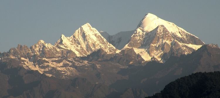
Kangto, at 7,060 metres (23,163 ft), is on the border of the Northeastern Indian state of Arunachal Pradesh and the Tibet Autonomous Region of China. It is the highest point in Arunachal Pradesh. The whole area is claimed by China as part of southern Tibet this claim is contested by India. The disputed area in which Kangto is located, would lie in the Tibetan county of Cona under the Chinese claim but lies in the East Kameng district of Arunachal Pradesh, under Indian administration.
References
Kangto Wikipedia(Text) CC BY-SA