
 | ||
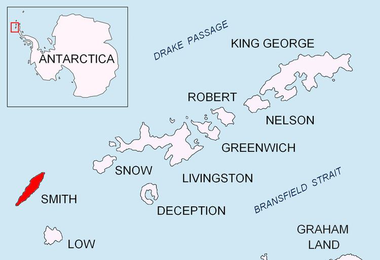
Mount Pisgah is a peak rising to 1860 m in the north-central part of Imeon Range on Smith Island in the South Shetland Islands, Antarctica. It is linked by Kostenets Saddle to Drinov Peak to the southwest, and surmounts Dalgopol Glacier to the north and Vetrino Glacier to the west.
Contents
Map of Mount Pisgah, Antarctica
Because the peaks of Smith Island gave it a forked appearance when seen from a distance, American sealers in the 1820s called it Mount Pisgah Island after the double-topped Mount Pisgah in the town of Durham, CT. The name has since been restricted to the peak described.
Location
The peak is located at 62°56′19.7″S 62°28′03″W which is 7.64 km northeast of Mount Foster, 1.85 km northeast of Drinov Peak, 3.9 km southeast of Gregory Point, 4.74 km southwest of Mount Christi and 1.1 km west of Mezek Peak (Bulgarian mapping in 2009).