Harman Patil (Editor)

Gregory Point

Updated on
Edit
Like
Comment
Share on FacebookTweet on TwitterShare on LinkedInShare on Reddit
Gregory Point

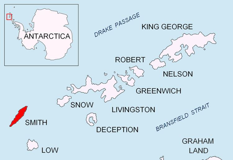
Gregory Point is a rocky point on the northwest coast of Smith Island in the South Shetland Islands, Antarctica projecting 700 m into Drake Passage. Situated 12.85 km west-southwest of Cape Smith, 3.9 km northwest of Mount Pisgah and 2 km north-northeast of Markeli Point. The point was roughly charted by Captain Henry Foster in 1829 and named Cape Gregory.

Maps

  • L.L. Ivanov. Antarctica: Livingston Island and Greenwich, Robert, Snow and Smith Islands. Scale 1:120000 topographic map. Troyan: Manfred Wörner Foundation, 2009. ISBN 978-954-92032-6-4
  • South Shetland Islands: Smith and Low Islands. Scale 1:150000 topographic map No. 13677. British Antarctic Survey, 2009.
  • References

    Gregory Point Wikipedia