
Listing Inactive volcano Last eruption Middle Pleistocene | Region CALABARZON Elevation 501 m | |
 | ||
Similar Mount Pulong Bato, Malepunyo Mountain Range, Mount Amorong, Laguna Caldera, Mount Macolod | ||
Mount Panay, is a strongly solfataric stratovolcano in the Philippines.
Contents
- Map of Mount Panay Mabini Batangas Philippines
- Location
- Physical features
- Eruptions
- Geology
- Listings
- References
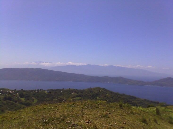
Map of Mount Panay, Mabini, Batangas, Philippines
Location
Panay is located south of Lake Taal, in the province of Batangas, in Region IV, on Luzon Island, in the Philippines.
It is located at the southern end of the Calumpang Peninsular which forms the western side of Batangas Bay, at latitude 13.723°N (13°43'24"N), longitude 120.893°E (120°53'36"E).
Physical features
Panay is a forested, low, andesitic stratovolcano, on the western side of Batangas Bay, which could be a breached caldera inundated by the sea.
Panay has an elevation of 501 metres (1,644 feet) asl.
Panay is reported to be strongly solfataric at present.
Eruptions
Last eruptive activity is thought to be Pleistocene, about 500,000 years ago.
There have been no historical eruptions.
Geology
Rock type is predominantly andesite.
Tectonically, Panay lies at the intersection of two major regional trends, the Bataan Lineament and the Palawan-Macolod Lineament.
Batangas Bay, which includes Panay, may be a drowned caldera.
Listings
Smithsonian Institution lists Panay as Pleistocene - Fumarolic.
Philippines Institute of Volcanology and Seismology (Phivolcs) lists Panay as Inactive.