
Parent range Nancy Range Easiest route no official trail Prominence 307 m | Topo map USGS Mount Carrigain Elevation 1,197 m | |
 | ||
Listing #74 New England 100 Highest Similar Mount Carrigain, Sandwich Mountain, Scar Ridge, East Kennebago Mountain, Mount Field | ||
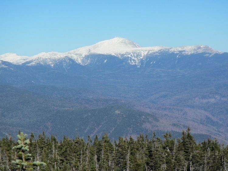
Mount Nancy, formerly Mount Amorisgelu, is a mountain located in Grafton County, New Hampshire, on the eastern boundary of the Pemigewasset Wilderness of the White Mountains. The mountain is the highest point and namesake of the Nancy Range. Mt. Nancy is flanked to the northeast by Mount Bemis, to the southwest by Mount Anderson, and to the southeast by Duck Pond Mountain. Although Mount Nancy is officially trailless, a visible path climbs to the summit from Norcross Pond. With a summit elevation of 3,926 feet (1,197 m), it is one of the New England Hundred Highest peaks.
Map of Mt Nancy, Lincoln, NH 03251, USA
The southwest face of Mount Nancy drains into Norcross Brook, thence into the East Branch of the Pemigewasset River, the Merrimack River, and into the Gulf of Maine at Newburyport, Massachusetts. The northwest side of Mt. Nancy drains into Anderson Brook, and thence into Norcross Brook. The northeast and southeast sides of Mt. Nancy drain into Nancy Brook, thence into the Saco River, and into the Gulf of Maine at Saco, Maine.