
Topo map 260-C44 Easiest route Bicycle Spur Trail Prominence 215 m | First ascent J Calder Elevation 1,497 m | |
 | ||
Similar Mount Titiroa, Mount Anglem, Roys Peak, Mitre Peak, The Remarkables | ||
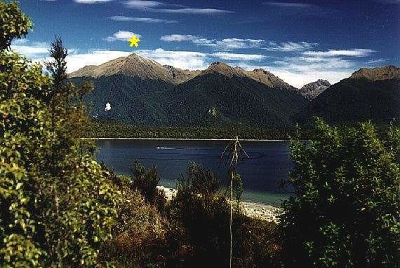
Mount Moturau is a mountain at height 1,497 m, rising south west of the Hope Arm of Lake Manapouri and clearly visible from Manapouri township. Note: Topographic map C44, Hunter Mountains, GR 2080950E 5497500N. Not named on official mapping pre 10 May 2001.
History
The name Moturau was originally the Maori name for the summer village of what is now known as Manapouri. It is also the name of a tourist vessel on Lake Manapouri as well as a hut on the Kepler Track and was said to be an older name for Lake Manapouri itself.
References
Mount Moturau Wikipedia(Text) CC BY-SA