Isolation 1.83 mi (2.95 km) Easiest route hike Prominence 155 m | Elevation 2,442 m | |
 | ||
Topo map USGS 7.5' topographic mapBig Narrows, Colorado Similar Greyrock Mountain, Iron Mountain, Fairchild Mountain, Mummy Mountain, Mount Richthofen | ||
Sota activation w0 fr 088 mount mcconnel 2nd activation
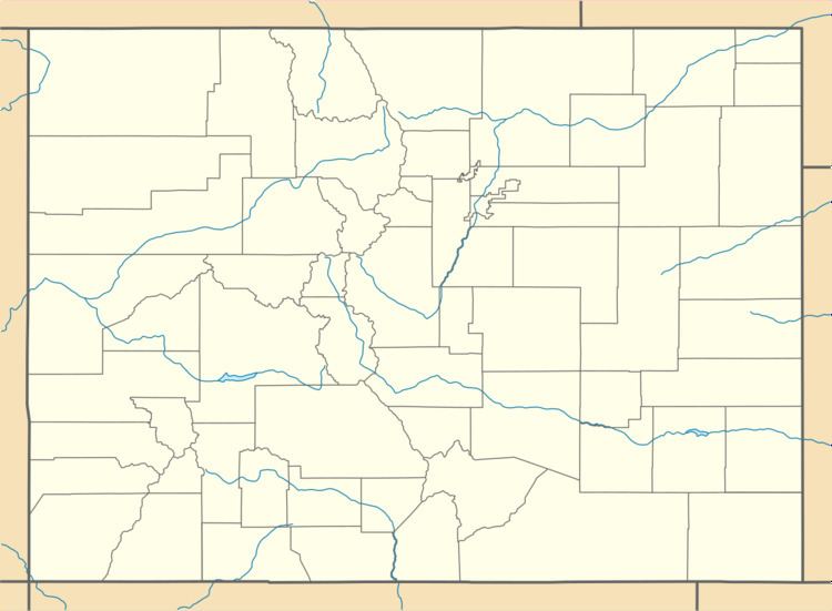
Mount McConnel is a mountain summit in the Mummy Range of the Rocky Mountains of North America. The 8,012-foot (2,442 m) peak is located in the Cache La Poudre Wilderness of Roosevelt National Forest, 22.7 miles (36.5 km) west-northwest (bearing 292°) of the City of Fort Collins in Larimer County, Colorado, United States. The summit can be reached via the Mount McConnel National Recreation Trail.
Contents
- Sota activation w0 fr 088 mount mcconnel 2nd activation
- Map of Mt McConnel Colorado 80512 USA
- Summit of mount mcconnel
- References
Map of Mt McConnel, Colorado 80512, USA
Summit of mount mcconnel
References
Mount McConnel Wikipedia(Text) CC BY-SA
