
Governing body U.S. Forest Service | Area 3,293 km² Established 1897 | |
 | ||
Management | ||
Roosevelt national forest rocky mountain chipmunks
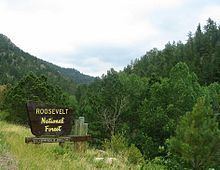
The Roosevelt National Forest is a National Forest located in north central Colorado. It is contiguous with the Colorado State Forest as well as the Arapaho National Forest. The forest is administered jointly with the Arapaho National Forest and the Pawnee National Grassland from offices in Fort Collins, and is denoted by the United States Forest Service as ARP (Arapaho, Roosevelt, Pawnee).
Contents
- Roosevelt national forest rocky mountain chipmunks
- Arapaho and roosevelt national forests overview
- Wilderness areas
- References
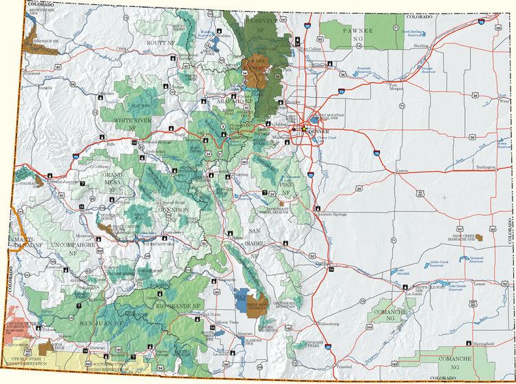
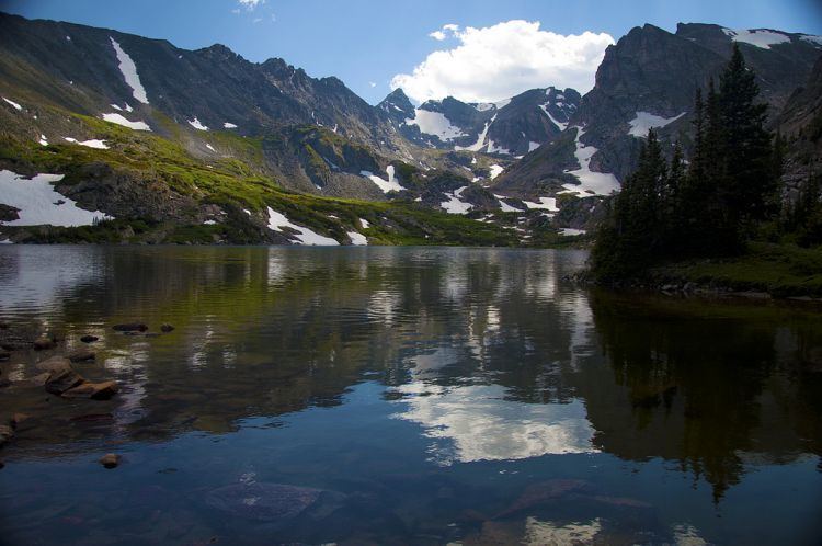
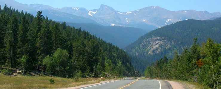
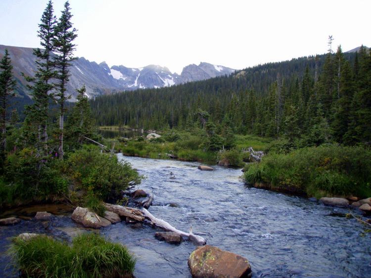
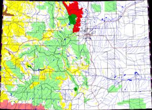
The forest encompasses a mountainous area of the foothills on the eastern side of the continental divide of the Front Range in Larimer County and Boulder County. In Larimer County it includes the upper valleys of the Cache la Poudre and Big Thompson Rivers. It includes forested areas along both sides of the Poudre Canyon and along the north and east sides of Rocky Mountain National Park. Smaller parts of the forest also extend into northern Gilpin and extreme northwestern Jefferson counties.
The Roosevelt National Forest is divided into two ranger districts, the Canyon Lakes Ranger District, with offices in Fort Collins, and the Boulder Ranger District, with offices in Boulder.
The Roosevelt National Forest began in 1897 as part of the Medicine Bow Forest Reserve. It was renamed the Colorado National Forest in 1910, and was renamed to honor President Theodore Roosevelt in 1932.
The forest has a total area of 813,799 acres (1,271.56 sq mi, or 3,293.33 km²).
Several volunteer groups work with the US Forest Service to help manage the Roosevelt National Forest, including the Poudre Wilderness Volunteers.
Arapaho and roosevelt national forests overview
Wilderness areas
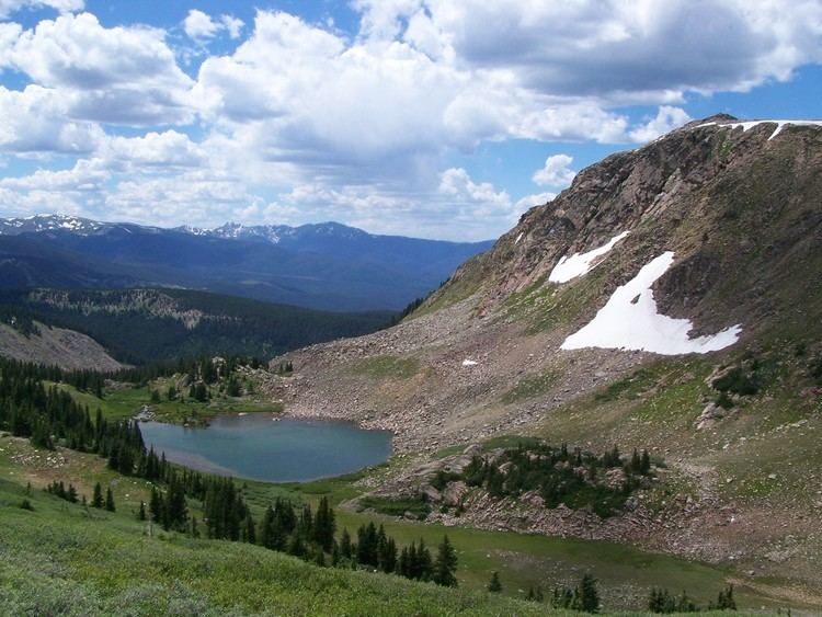
There are six officially designated wilderness areas lying within Roosevelt National Forest that are part of the National Wilderness Preservation System. Four of them extend into neighboring National Forests, and one of these also onto National Park Service land (as indicated).