
Topo map USGS Holden Elevation 2,761 m | Easiest route South slopes Prominence 269 m | |
 | ||
First ascent August 19, 1932 by Hermann F. Ulrichs and John Burnett. Similar Seven Fingered Jack, Mount Fernow, Bonanza Peak, Mount Spickard, Mount Redoubt | ||
Mount Maude is the 15th highest peak in Washington state.The peak is located in the Entiat Mountains, a subrange of the North Cascades. It is in the Glacier Peak Wilderness, at the headwaters of the Entiat River. The peak was given its name by Albert H. Sylvester in honor of Frederick Stanley Maude.
Contents
Map of Mt Maude, Washington 98826, USA
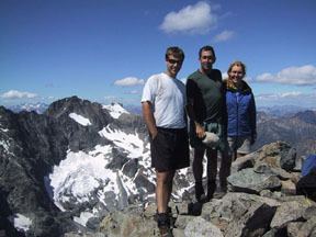
The mountain from the Southside consists of mostly talus with small rocky outcroppings, often compared with mountains in the Colorado Rockies. The northeast side is much different, with a steep rocky summit sheltering the small Entiat Glacier. MOst climbers will climb Maude, Seven finger jack, and sometime Mount Fernow in the same trip.
GeologyEdit
The mountain made of Cretaceous Orthogneiss, and Tonalite. The flank of the mountain on the southwest side are made of Triassic Orthogneiss and Triassic to Permian Heterogeneous Metamorphic rock. While the northeast side also consist of Eocene Quartz Diorite, and small marble deposits. Many normal faults are present as well as one small strik-slip fault near spectacle buttes.