
Topo map NTS 92D/09 Elevation 2,143 m Parent range Rainbow Range | Prominence 378 m Mountain range Rainbow Range | |
 | ||
People also search for Tsitsutl Peak, Anahim Peak, Mount Downton, Satah Mountain, Monarch Mountain, Far Mountain | ||
Mount mackenzie
Mount MacKenzie is a volcanic peak, located 40 km (25 mi) northeast of Hagensborg, British Columbia, Canada. It is one of the volcanic peaks of the Rainbow Range, which is one of the three major shield volcanoes that form the Anahim Volcanic Belt. Mount MacKenzie was formed when the North American Plate moved over a hotspot, similar to the one feeding the Hawaiian Islands, known as the Anahim hotspot.
Contents
- Mount mackenzie
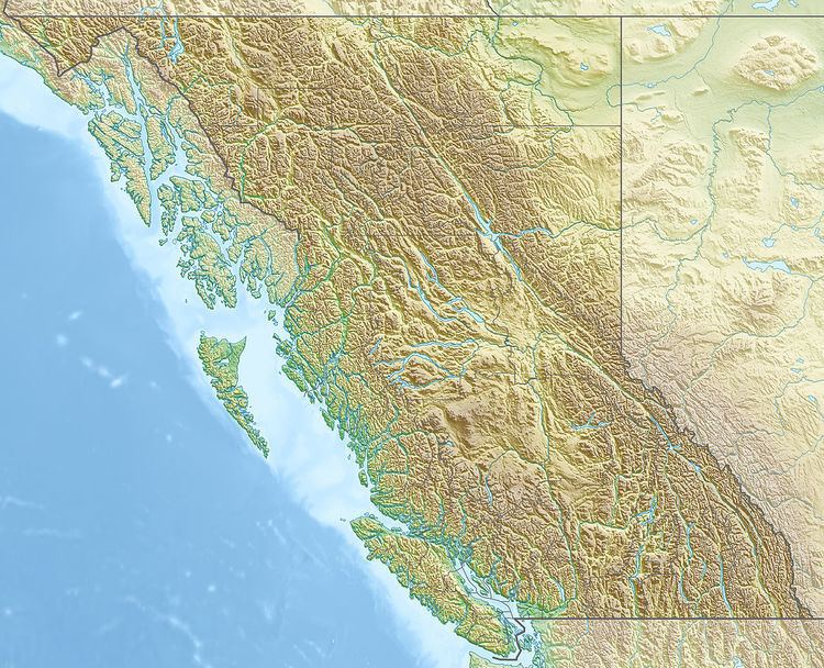
- Map of Mount MacKenzie Cariboo J BC Canada
- Mount mackenzie tenterfield snow 12 07 2015
- References
Map of Mount MacKenzie, Cariboo J, BC, Canada
Mount mackenzie tenterfield snow 12 07 2015
References
Mount MacKenzie Wikipedia(Text) CC BY-SA