
Elevation 678 m | Prominence 356 m Easiest route Hiking | |
 | ||
Similar Telegraph Peak, Ontario Peak, Modjeska Peak, Box Springs Mountain, Anderson Peak | ||
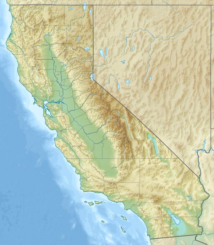
Mount Jurupa is the highest point of the Jurupa Mountains, being located in northwestern Riverside County, California. The summit is just south of the Riverside – San Bernardino county line. A hiking trail leads to its summit, which offers spectacular views of Riverside, Fontana, San Bernardino, and Moreno Valley.
Map of Mt Jurupa, Jurupa Valley, CA 92509, USA
In a small canyon at the base of the mountain is the Jurupa Mountains Cultural Center, a non-profit educational facility that includes nature trails, gardens, and an Earth Science Museum.
The name can be traced to the Jurupa land grant dated September 28, 1838. Before the secularization of the missions, Jurupa was the name of one of the Mission San Gabriel ranchos. Jarupa was probably a Serrano or Gabrielino Shoshonean name.
References
Mount Jurupa Wikipedia(Text) CC BY-SA