
Topo map USGS Agat | Elevation 391 m | |
 | ||
Location Guam, Micronesia, U.S. territory | ||
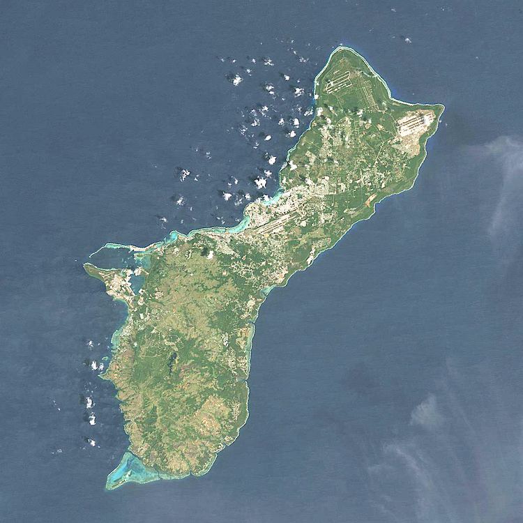
Mount Jumullong Manglo (sometimes shortened to Mount Jumullong) is a peak in the south-west of the island of the United States territory of Guam.
Map of Mount Jumullong Manglo, Umatac, Guam
Rising to 391 meters (1,283 ft) above sea level, it is the 2nd highest peak in Guam (after Mount Lamlam, and before Mount Bolanos).
Nearby is located the village of Agat (6.1 km or 3.8 mi).
References
Mount Jumullong Manglo Wikipedia(Text) CC BY-SA