
Topo map USGS Agat | Elevation 368 m | |
 | ||
Location Guam, Micronesia, U.S. territory | ||
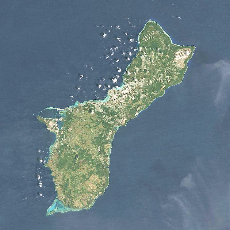
Mount Bolanos is a south-west peak in the United States territory of Guam.
Map of Mount Bolanos, Umatac, Guam
Rising to 368 meters (1,207 ft) above sea level, it is the 3rd highest peak in Guam (after Mount Lamlam and Mount Jumullong Manglo, and before Mount Almagosa).
Nearby are located the Bolanos Conservation Reserve (0.4 km) and the Bolanos River (1.6 km). The closest populated places are the villages of Umatac (4.5 km) and Agat (9 km). Farther to the north is the capital Hagåtña (25 km).
References
Mount Bolanos Wikipedia(Text) CC BY-SA