
Topo map USGS Agat Elevation 406 m | Designated 1972 Prominence 406 m | |
 | ||
Similar Crown Mountain, Lata Mountain, Agrihan, Cerro de Punta, Anatahan | ||
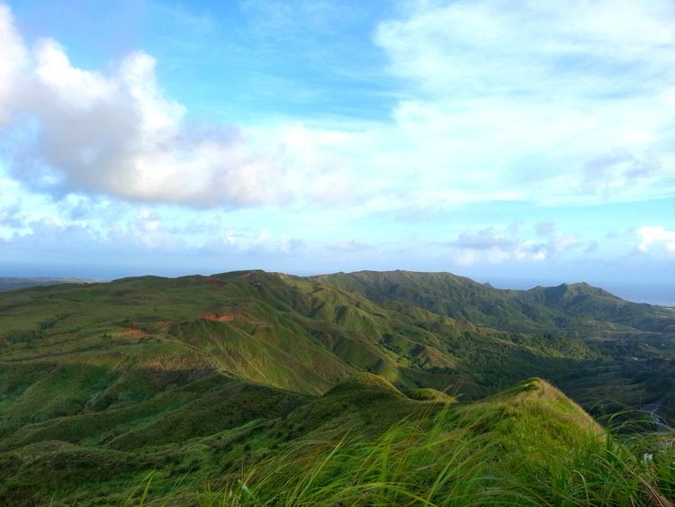
Mount Lamlam (meaning lightning in Chamoru) is a peak on the United States island of Guam. It is located near the village of Agat (5 km or 3 mi north), in the south-west of the island.
Map of Mt. Lam Lam, Agat, Guam
Rising to 406 meters (1,332 ft) above sea level, it is the highest peak in Guam (before Mount Jumullong Manglo). The distance from the peak to the bottom of the nearby Mariana Trench is the greatest change in elevation on Earth over such a short distance.
References
Mount Lamlam Wikipedia(Text) CC BY-SA