
Isolation 23.09 km (14.35 mi) Elevation 1,104 m | Topo map Owen 3833Darwin 3832 Prominence 911 m | |
 | ||
Similar Mount Huxley, Mount Sedgwick, Mount Murchison, Mount Heemskirk, Mount Lyell | ||
Mount Jukes is a mountain located on the Jukes Range, a spur off the West Coast Range, in the West Coast region of Tasmania, Australia.
Contents
Map of Mount Jukes, Southwest TAS 7139, Australia
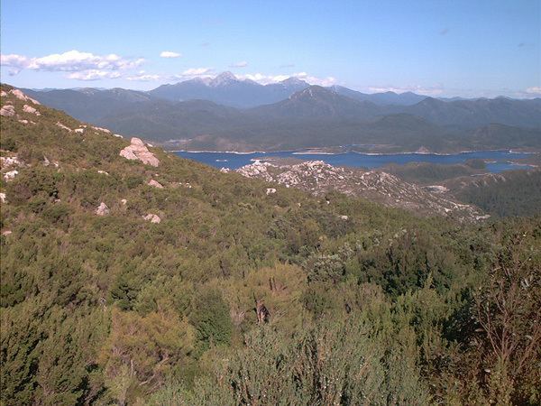
With an elevation of 1,168 metres (3,832 ft) above sea level, with multiple peaks, and glacial lakes on its upper eastern reaches, Mount Jukes is situated above the town of Crotty and is west of Lake Burbury.
The mountain was named by Charles Gould in 1862 in honour of Professor Joseph Jukes, an English geologist who gathered evidence to part afforded support for Charles Darwin's theories of coral reefs. Jukes had visited Hobart in 1842-3 on HMS Fly.
Mines
It has had mines and small mining camps adjacent to the lakes, and on the northern upper slopes, near where the Mount Jukes road traverses the upper slopes of the King River Gorge.
Access and features
The Mount Jukes Road (22 kilometres (14 mi) in length) was constructed by the Hydro in the 1980s at the time the Crotty Dam was made. It connects southern Queenstown with Darwin Dam, where the previously utilised North Mount Lyell Railway formation between the Linda Valley and Crotty was submerged by Lake Burbury.
Two named glacial lakes in the upper part of the eastern side of the mountain are the Upper Lake Jukes and the Lower Lake Jukes. It is by the lakes that a number of small mines were started in the early years of the twentieth century.
Mount Huxley is located to the north and Mount Darwin is located to the south.
Peaks and spurs
Mount Jukes has a number of named features:
Some other named features include Yellow Knob, Yellow Knob Spur, South Jukes Spur, Crown Spur, East Jukes Spur, Intercolonial Spur, Cliff Spur, and Newall Spur.