
Country Australia Purpose Power Opening date 1990 (1990) Height 20 m Length 700 m | Status Operational Opened 1990 Catchment area 559 km² | |
 | ||
Similar Crotty Dam, Lake Burbury, Mount Jukes, John Butters Power St, Queenstown Oval - Tasmania | ||
The Darwin Dam is an offstream earthfill embankment saddle dam without a spillway, located in Western Tasmania, Australia. The impounded reservoir, also formed by Crotty Dam, is called Lake Burbury.
Contents
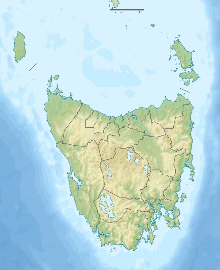
Map of Darwin Dam, Southwest TAS 7139, Australia
The dam was constructed in 1990 by the Hydro Electric Corporation (TAS) for the purpose of generating hydro-electric power via the John Butters Power Station.
Features and location
The Darwin Dam, together with the Crotty Dam, are two major dams that form the headwaters for the King River Hydroelectric Power Development. The dam is located at the southern end of Lake Burbury, and holds the water for the lake.
The Darwin Dam wall, constructed with 430 thousand cubic metres (15×10^6 cu ft) of earth core, is 20 metres (66 ft) high and 700 metres (2,300 ft) long. At 100% capacity the dam wall holds back 1,081,420 megalitres (38,190×10^6 cu ft) of water. The surface area of Lake Burbury is 53,250 hectares (131,600 acres) and the catchment area is 559 square kilometres (216 sq mi). The dam wall does not have a spillway.
The dam draws its name from Mount Darwin, a peak located to the west of the dam wall. Both locations draw their names from the railway stopping place and the ghost town site of Darwin that was situated on the North Mount Lyell Railway between Gormanston and Kelly Basin.
In the 1910s the Mount Lyell Mining and Railway Company had investigated and surveyed a site very close to this dam for a proposed scheme.