
Prominence 3,337 ft (1,017 m) Elevation 3,273 m | Topo map USGS Cass Creek Peak | |
 | ||
Similar Mount Ellen, Abajo Peak, Loafer Mountain, Delano Peak, Twin Peaks (American Fork) | ||
Mount Hillers is a summit in the Henry Mountains range, in Garfield County, Utah, in the United States. Its elevation is 10,741 feet (3,274 m) .
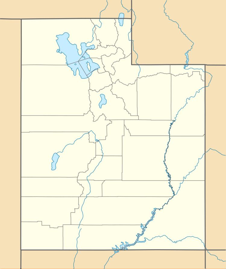
Map of Mt Hillers, Utah, USA
It was named for John Karl Hillers, a government photographer.
References
Mount Hillers Wikipedia(Text) CC BY-SA