Topo map USGS Abajo Peak Quad Elevation 3,465 m | Easiest route Hike Prominence 1,387 m | |
 | ||
Similar Mount Ellen, Delano Peak, Mount Peale, Signal Peak, Loafer Mountain | ||
Fezzari abajo peak
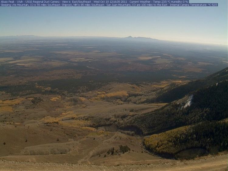
Abajo Peak is the highest peak in the Abajo Mountains of southeast Utah, United States and is located in the Manti-La Sal National Forest. The summit is 7 miles (11 km) southwest of Monticello, Utah and 23 miles (37 km) west of the Colorado border. The summit provides a panoramic view of southeastern Utah, Colorado, and the Four Corners region where Utah, Arizona, Colorado and New Mexico meet. There are several communication towers on the peak.
Contents
Map of Abajo Peak, Utah 84535, USA
Utah abajo peak dual sport
References
Abajo Peak Wikipedia(Text) CC BY-SA
