
Elevation 1,319 m Mountain range White Mountains | Prominence 512 m Listing Four-thousand footers | |
 | ||
Topo map USGS Crawford Notch (NH) Parent ranges White Mountains, Willey Range Similar Mount Tom, Mount Willey, Mount Pierce, Mount Eisenhower, Mount Avalon | ||
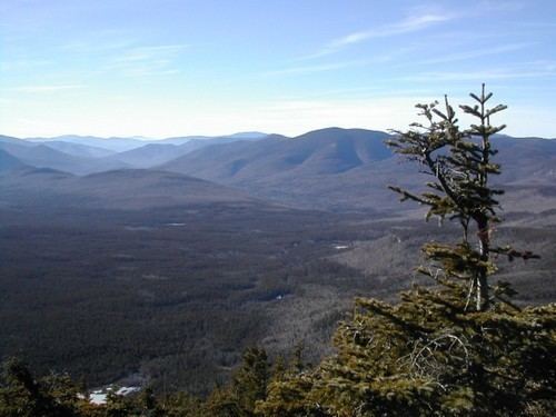
Mount Field is a mountain located in Grafton County, New Hampshire. The mountain is named after Darby Field (1610–1649), who in 1642 made the first known ascent of Mount Washington. Mount Field is the highest peak of the Willey Range of the White Mountains. Mt. Field is flanked to the northwest by Mount Tom, and to the southwest by Mount Willey.
Map of Mt Field, Bethlehem, NH 03583, USA
Mt. Field stands on the borders of three watersheds. On its northeast side, it drains into the Saco River, and thence into the Gulf of Maine in Maine. On the south side, it drains into the North Fork Pemigewasset River, and thence into the East Branch, Pemigewasset River, and Merrimack River, which reaches the sea in Massachusetts. On the west side, Field drains into the Zealand River, and thence into the Ammonoosuc River, Connecticut River, and into Long Island Sound in Connecticut.