
- elevation 5,025 ft (1,532 m) Length 89 km Country United States of America | - elevation 430 ft (131 m) | |
 | ||
Bridges Bath Covered Bridge, Haverhill-Bath Covered Bridge | ||
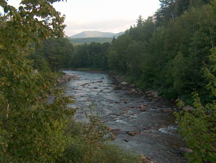
The Ammonoosuc River is a river, 55 mi (89 km) long, in northwestern New Hampshire in the United States. It is a tributary of the Connecticut River, which flows to Long Island Sound. "Ammonoosuc" is Abnaki for "small, narrow fishing place".
Contents
- Map of Ammonoosuc River Sargents Purchase NH USA
- Ammonoosuc river 4ft
- Variant names and spellingsEdit
- References
Map of Ammonoosuc River, Sargent's Purchase, NH, USA
The Ammonoosuc rises on the western slope of Mount Washington, in Sargent's Purchase in the White Mountains of southern Coos County. One branch of the river is the outlet of the Lakes of the Clouds in the saddle between Mount Washington and Mount Monroe. Leaving the vicinity of the Presidential Range, the river flows westwardly into Grafton County, where it turns southwestwardly. Along its course the Ammonoosuc passes through Chandler's Purchase, Bean's Grant, and Crawford's Purchase; and the towns of Carroll, Bethlehem, Littleton, Lisbon, Landaff, Bath, and Haverhill to the village of Woodsville, where it flows into the Connecticut River. It collects the Gale River in Lisbon, and the Wild Ammonoosuc River in Bath.
Ammonoosuc river 4ft
Variant names and spellingsEdit
The United States Board on Geographic Names settled on "Ammonoosuc River" as the stream's name in 1936. According to the Geographic Names Information System, it has also been known as:
See also Defunct placenames of New Hampshire.