
Topo map USGS Sugar Mountain Elevation 425 m Parent range Superior Upland | Easiest route Trail hike Prominence 241 m | |
 | ||
Similar Mount Curwood, Disappointment Mountain, Moose Mountain, Mount McKay, Mount Arvon | ||
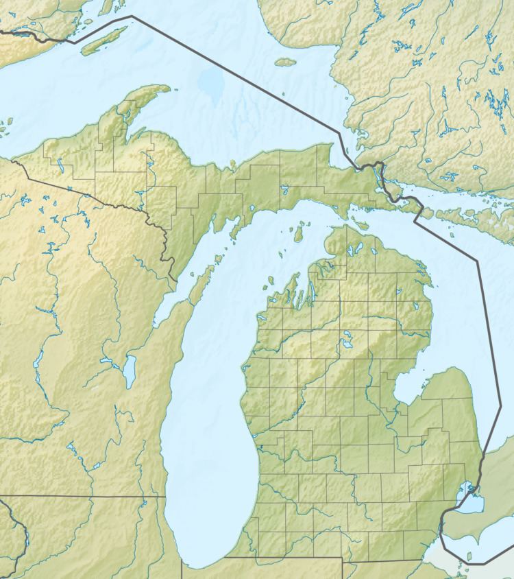
Mount Desor is the tallest mountain within Isle Royale National Park. Located on Isle Royale in Lake Superior and with an elevation of 1,394 feet (420 m), it is the third highest peak on the lake.
Map of Mt Desor, Eagle Harbor Township, MI, USA
The 45-mile long Greenstone Ridge Trail crosses the summit of Mount Desor as it traverses the length of the island. The summit is a 8.5 miles (13.7 km) hike from nearest ferry landing.
On an autumn day after most of the foliage has fallen, it is possible to see Lake Superior's Siskiwit Bay to the south. In other seasons, the view of the surrounding terrain from the densely wooded spot is limited.
References
Mount Desor Wikipedia(Text) CC BY-SA