
Topo map USGS Mount Curwood Prominence 51 m | Elevation 603 m | |
 | ||
Similar Mount Arvon, Ishpatina Ridge, Eagle Mountain, Black Mesa, Borah Peak | ||
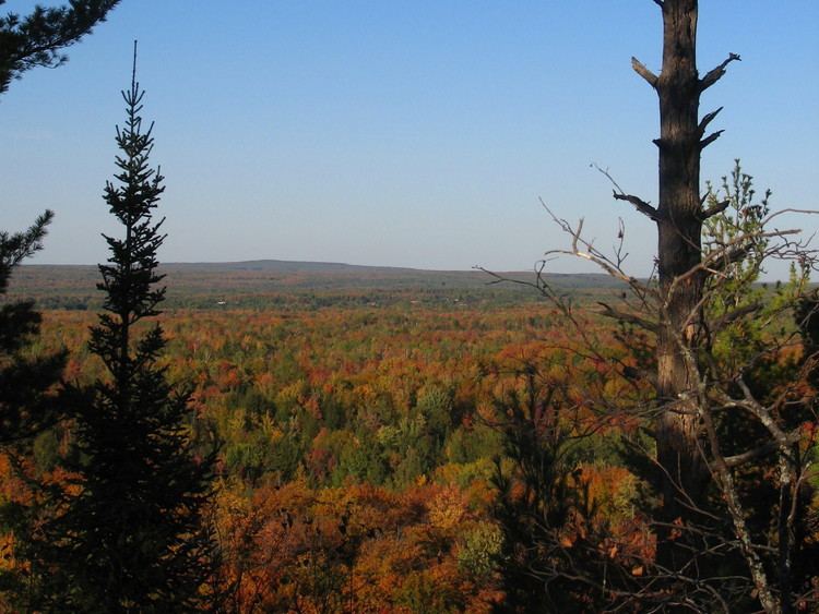
Mount Curwood, elevation 1,978 feet (603 m), in L'Anse Township, Baraga County is the second highest point in the U.S. state of Michigan. Mt. Curwood is a part of the Huron Mountains range.
Map of Mt Curwood, L'Anse Township, MI 49946, USA
Named in honor of Michigan author James Oliver Curwood, Mt. Curwood was long designated as Michigan's highest point until a resurvey in 1982 with modern technology determined that nearby Mount Arvon is actually 1,979 feet (603 m) high - one foot taller than Mount Curwood.
References
Mount Curwood Wikipedia(Text) CC BY-SA