
Topo map USGS Skanee South Prominence 289 m | Elevation 603 m | |
 | ||
Listing U.S. state high point 38th Similar Eagle Mountain, Hawkeye Point, White Butte, Woodall Mountain, Driskill Mountain | ||
Motor mountain monday we summit mount arvon michigan s highest mountain top
Mount Arvon, elevation 1,979 feet (603 m), located in L'Anse Township, Baraga County, is the highest natural point in the U.S. state of Michigan. Like nearby Arvon Township, Mount Arvon takes its name from the deposits of slate in the area which were reminiscent of those around Caernarfon in Wales. Mount Arvon is part of the Huron Mountains. It rises about eight miles (13 km) south of Lake Superior (elevation 591 ft, 180 m). On the list of highest natural points in each U.S. state, Mount Arvon ranks 38th.
Contents
- Motor mountain monday we summit mount arvon michigan s highest mountain top
- Map of Mt Arvon LAnse Township MI 49962 USA
- Panoramic view at mount arvon highest peak in michigan
- References
Map of Mt Arvon, L'Anse Township, MI 49962, USA
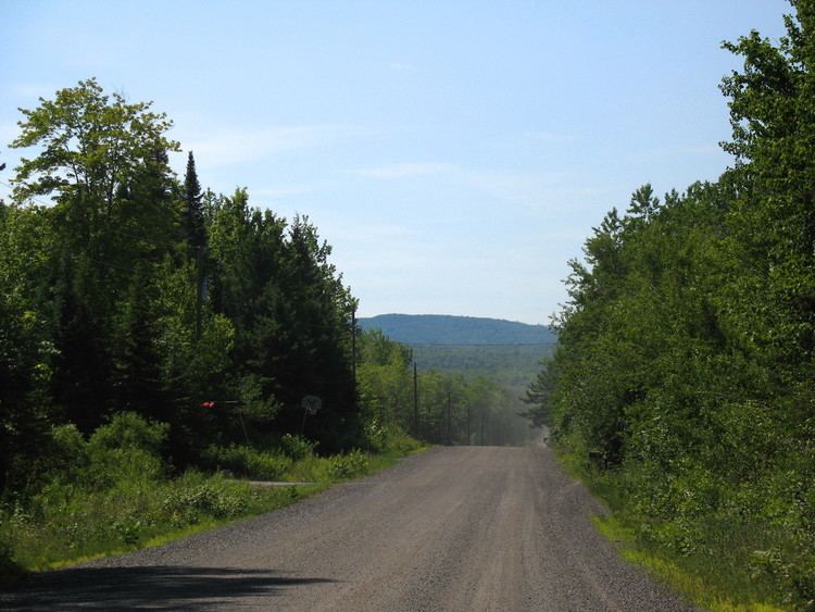
Mount Arvon is a few miles from Mount Curwood, which for years had been designated as Michigan's highest spot until a resurvey in 1982 with modern technology determined that Mount Arvon is one foot (0.30 m) taller than Mount Curwood. Mount Arvon is about 12 miles (19 km) east of L'Anse, although it is about a 26-mile (42 km) drive from the city as much of it lies on winding logging roads.
The property is owned by the MeadWestvaco paper company but public access is allowed.