
Elevation 1,234 m | Mountain range Hamersley Range | |
 | ||
Similar Mount Meharry, Mount Augustus - Western, Bluff Knoll | ||
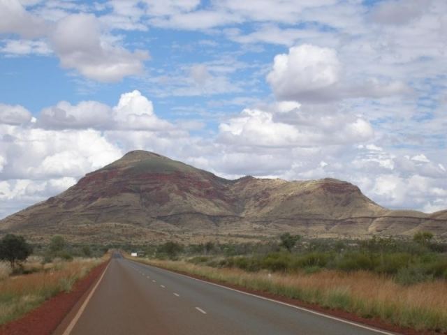
Mount Bruce is the second highest mountain in the state of Western Australia.
Map of Mount Bruce, Karijini WA 6751, Australia
Mount Bruce lies 62 kilometres (39 mi) northwest of Mount Meharry, the highest peak in the state. It is a part of the Hamersley Range in the Pilbara. A number of walks exist on the mountain including the relatively easy Marandoo walk that offers a view over the Marandoo minesite, the more difficult Honey Hakea walk and the summit track.
Mount Bruce reaches 1,234 m (4,049 ft), being 15 m (49 ft) lower than Mount Meharry.
The Aboriginal name for the mountain is Punurrunha.
References
Mount Bruce (Western Australia) Wikipedia(Text) CC BY-SA