
Parent range Sierra Nevada Easiest route Easy scramble, class 2 Prominence 284 m Parent peak Mount Tyndall | Topo map USGS Mount Williamson Elevation 4,264 m Mountain range Sierra Nevada | |
 | ||
Listing Thirteener
Sierra Peaks Section
Western States Climbers Star peak Location Inyo / Tulare counties, California, U.S. First ascent September 25, 1892 by W. L. Hunter, John Hunter, William Hunter and C. Mulholland. Similar Mount McAdie, Junction Peak, Mount Mallory, Mount Keith, Mount Tyndall | ||
Trojan peak mount barnard
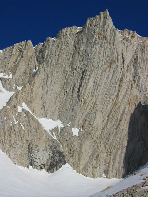
Mount Barnard is a mountain in the U.S. state of California, and has the dubious distinction of being the highest thirteener, a peak between 13,000 and 13,999 feet (3,962 and 4,267 m) in elevation, in the United States. It is located on the Sierra Crest and straddles the boundary between Tulare and Inyo counties about 2 miles (3 km) southwest of Mount Williamson, the second-highest peak in the state; Mount Barnard is the twelfth-highest.
Contents
- Trojan peak mount barnard
- Map of Mt Barnard California USA
- George creek to trojan peak and mount barnard
- References
Map of Mt Barnard, California, USA
The first ascent was by W. L. Hunter, John Hunter, William Hunter and C. Mulholland on September 25, 1892. They named the peak in honor of E. E. Barnard, a noted astronomer.
George creek to trojan peak and mount barnard
References
Mount Barnard Wikipedia(Text) CC BY-SA