
Type Road | ||
 | ||
Major suburbs Eagle On The HillCrafersStirlingAldgateBridgewaterVerdunHahndorf Lgas | ||
Mount Barker Road was once the main road from Adelaide through the Adelaide Hills to Mount Barker on the eastern slopes of the Mount Lofty Ranges. The main route has now been replaced by part of the South Eastern Freeway, but most of it remains in some form. The remaining sections of Mount Barker Road are still classified as state roads.
Contents
- Map of Mount Barker Rd Otago 9382 New Zealand
- Lot 51 mount barker road hahndorf
- Route
- History
- References
Map of Mount Barker Rd, Otago 9382, New Zealand
Lot 51 mount barker road hahndorf
Route
Mount Barker Road starts from the "Old Toll Gate" at Glen Osmond. It has been completely replaced by the South Eastern Freeway as far as the Devil's Elbow. Mount Barker Road turns a sharp hairpin and has a winding uphill through Eagle On The Hill and rejoins the South Eastern Freeway near Measday's Hill.
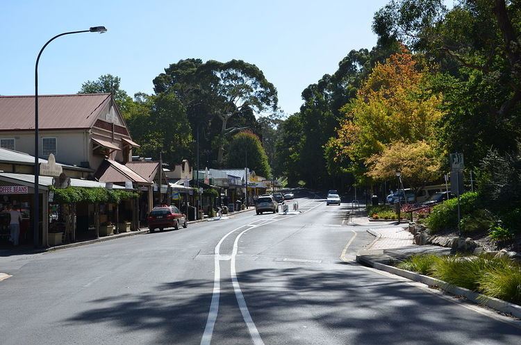
Mount Barker Road resumes from the south side of the Stirling exit from the freeway. It passes through the main shopping strips of Stirling and Aldgate as State Route B33. From Aldgate, Route B33 continues on Strathalbyn Road, while Mount Barker Road follows the railway line as Tourist Route 57 to Bridgewater and under the freeway at Verdun where it joins State Route B34 (from Onkaparinga Valley Road) for a little over 3 kilometres (1.9 mi) through Hahndorf. At the south end of Hahndorf Route B34 turns under the freeway towards Echunga and Mount Barker Road continues on the north side to end at the Mount Barker Interchange.
History
The last part of the South Eastern Freeway to be built reconstructed the Adelaide end of Mount Barker Road including a grade-separated intersection at Mount Osmond Road. It replaced the infamous Devil's Elbow hairpin with a partial interchange. The new freeway passes through the Heysen Tunnels and rejoins the former alignment the other side of a steep ridge. Mount Barker Road itself climbs over and around the ridge. Since the four-lane dual carriageway is no longer required, part of the uphill side has been replaced with a bike path used as part of a popular cycling route to Mount Lofty and all motor traffic uses the former downhill carriageway. The section between the Measdays interchange and Crafers was also completely replaced by the freeway being built on the same alignment at a lower level in a deep cutting.
Mount Barker Road between Crafers and Stirling was replaced by the first stage of the Freeway to be built, in the late 1960s. Mount Barker Road remains as the main street of Stirling, continuing to Aldgate, Bridgewater, under the freeway at Verdun, then through Hahndorf to end near the Mount Barker interchange of the freeway. The road on the other end of the bridge over the interchange is "Adelaide Road", reflecting the reverse journey.