
Population 449 (2011) | Postcode(s) 4514 Postal code 4514 | |
 | ||
Similar Mount Glorious, Mount Nebo, Mount Crosby | ||
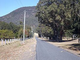
Mount Archer is a mountain and locality in the Somerset Region of Queensland, Australia. The population of Mount Archer is very low, so it is included in the population statistics for the adjoining locality of Villeneuve, which recorded a population of 449 at the 2011 Australian Census.
Contents
Map of Mount Archer QLD 4514, Australia
Geography
Part of the northern boundary to the east is aligned with Neurum Creek, while in the west it roughly follows the Stanley River.
In the northwest of Mount Archer is a section of Somerset Dam. The north-eastern part has some rural residential and farming properties. The south of the locality is mountainous and heavily vegetated with parts protected within D'Aguilar National Park. This includes the peak of Mount Archer which marks the northern extent of the D'Aguilar Range.
History
Mount Archer takes its name from the mountain Mount Archer which in turn is named after three of the pioneer Archer brothers (John, David, and Thomas) who established the Durundur Station in the area.