
Population 279 (2011 census) Postcode(s) 4520 Mount Glorious Cedar Creek Postal code 4520 | Established 1903 Founded 1903 Lga Moreton Bay Region | |
 | ||
Location 30 km (19 mi) from Brisbane Similar Mount Nebo, Mount Crosby, Springbrook - Queensland, Mount Petrie, Mount Warning | ||
Mount glorious hammock camp
Mount Glorious in Queensland is a mountain which is part of the D'Aguilar Range and is a suburb in Moreton Bay Region roughly 30 km north west of Brisbane.
Contents
- Mount glorious hammock camp
- Map of Mount Glorious QLD 4520 Australia
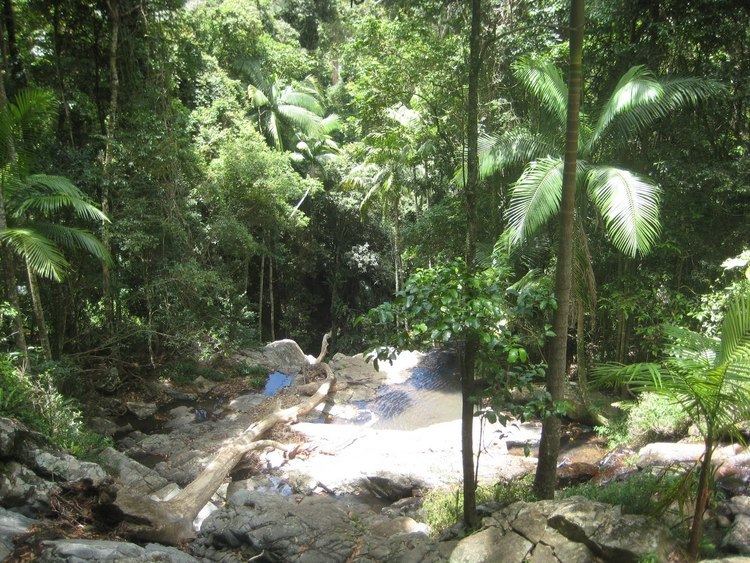
- Cedar creek mount glorious camping
- Demographics
- References
Map of Mount Glorious, QLD 4520, Australia
Five blocks on the mountain were made available early in the 20th century, with the first block being bought by James O'Hara in 1903.
The forest that surrounds the mountain village is part of Brisbane Forest Park and the D'Aguilar National Park. Other mountains in the D'Aguilar Range include Mount Nebo, Mount Pleasant and Mount Mee. The peak is approximately 599 m above sea level.
The mountain was the centre of a 4.4 magnitude earthquake in November 1960.
Cedar creek mount glorious camping
Demographics
In the 2011 census, Mount Glorious recorded a population of 279 people, 48.4% female and 51.6% male. The median age of the Mount Glorious population was 45 years, 8 years above the national median of 37. 73.7% of people living in Mount Glorious were born in Australia. The other top responses for country of birth were England 7.6%, New Zealand 4.3%, Germany 1.1%, Aruba 1.1%, Argentina 1.1%. 90.6% of people spoke only English at home; the next most common languages were 1.1% German, 1.1% Cantonese, 1.1% Swedish, 1.1% Spanish, 1.1% Greek.